
Garmin Xero® L60i Laser Rangefinder
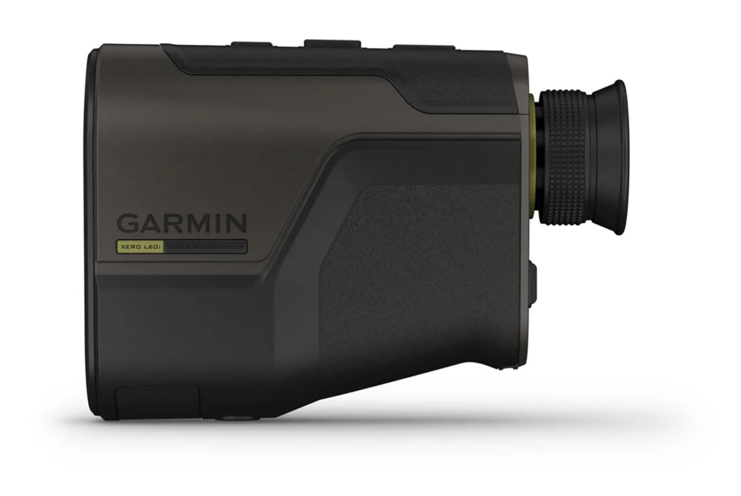
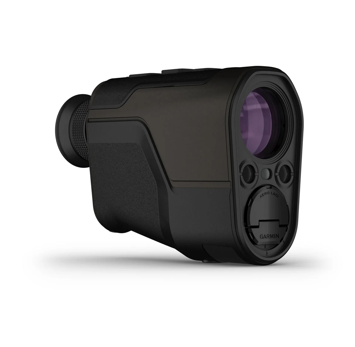
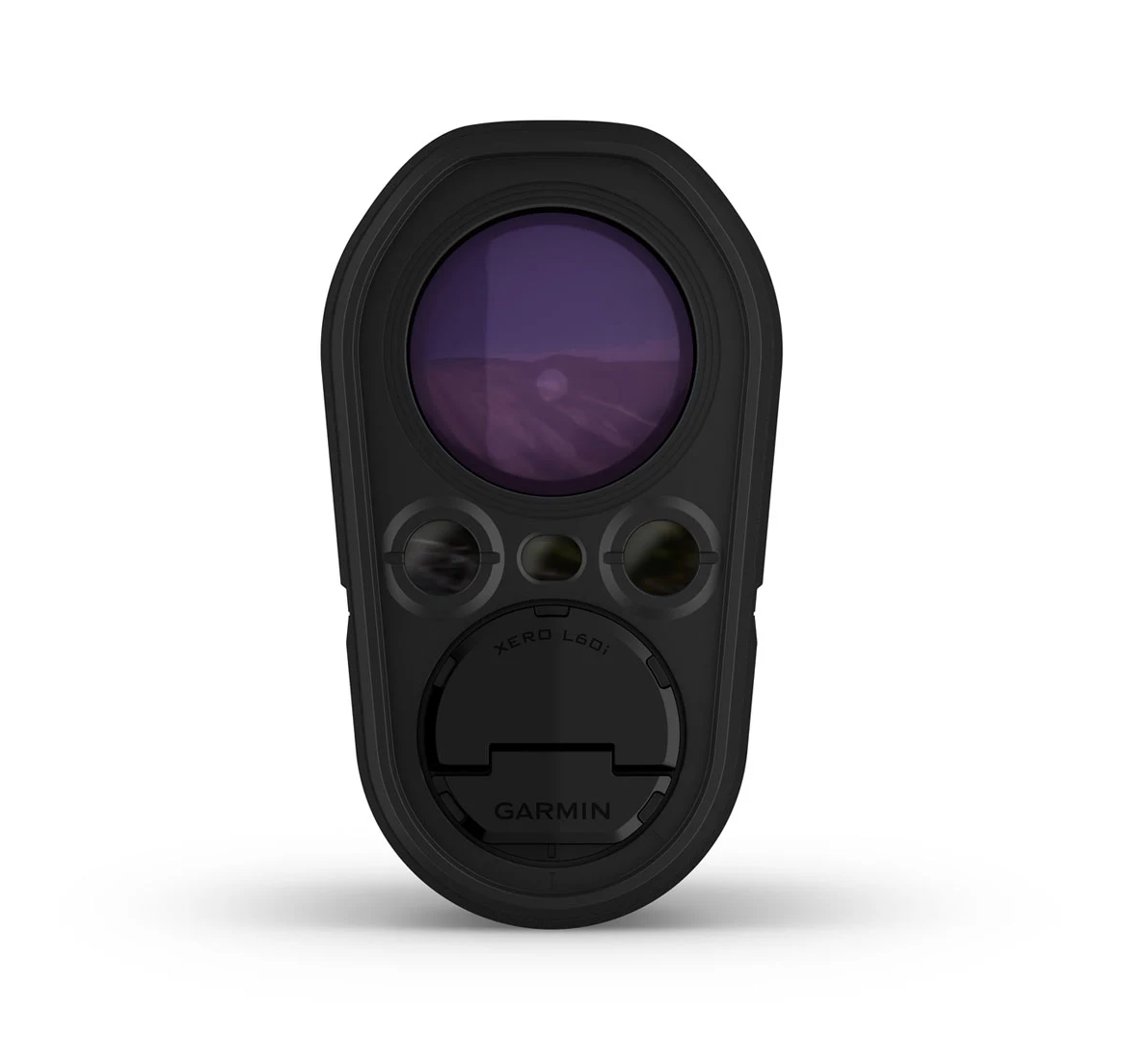
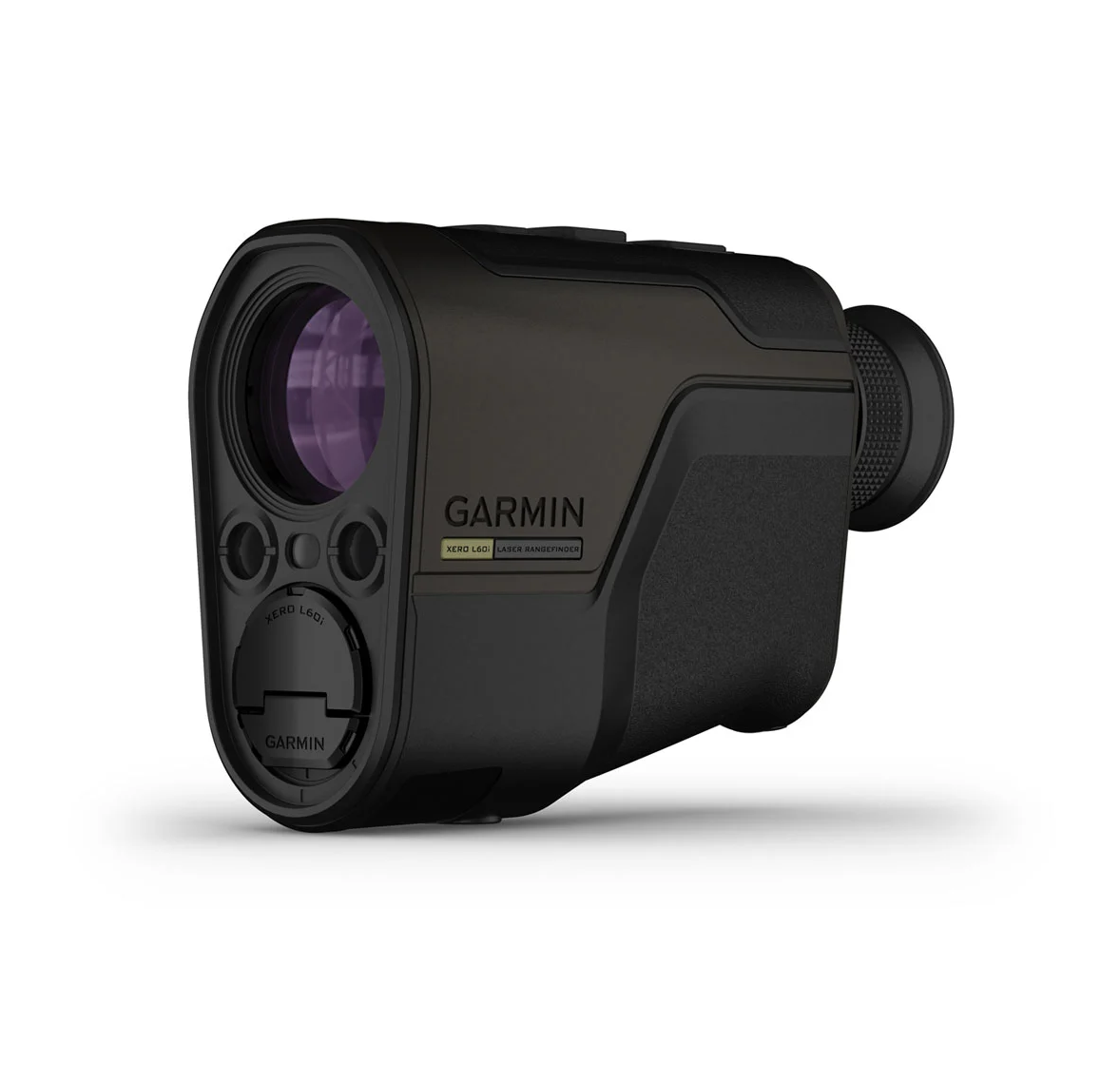
Garmin Xero® L60i is a laser rangefinder with 7× magnification, a 32 mm objective lens, a high-resolution colour graphic overlay, built-in GPS and TopoActive maps. Laser Locate™, Sensor Locate and Visual Recall help the user range, mark and relocate targets and waypoints in the field.
- Fast EU shipping! 14 Euros.
- info@corax-store.se
- In stock items ships within 1-2 days
Description
Article no.: 010-02691-01
Garmin Xero® L60i combines optical rangefinding with onboard mapping and navigation. Its high-resolution colour graphic overlay displays distance, position, mapping, navigation and ballistic information directly in the field of view.
The optics provide 7× magnification and a 32 mm objective lens. In daylight, Garmin specifies ranges of up to 1,375 m for animals, 1,800 m for trees and 5,000 m for retroreflective targets. Accuracy is specified as ±0.25 m up to 1,000 m and ±1 m at longer laser-ranged distances.
Laser Locate™ creates a waypoint from the measured range, compass heading and GPS position. Sensor Locate can project a waypoint when a target is beyond laser range, while Visual Recall provides directional guidance back to a previously marked position. Waypoints can be shared through Garmin Explore™ and Garmin Share with compatible devices.
The unit includes an onboard Applied Ballistics Ultralight solver, which requires activation through a compatible Applied Ballistics app. Arrow-ballistics functions are also available. The housing is rated IPX7 and the rangefinder is powered by two AAA lithium batteries.
Specifications
- Magnification: 7×
- Objective lens: 32 mm
- Display: multi-colour digital projection, 960 × 540 pixels
- Field of view: 7°
- Daylight range: animals 1,375 m; trees 1,800 m; retroreflective targets 5,000 m
- Accuracy: ±0.25 m up to 1,000 m; ±1 m beyond 1,000 m
- GPS, TopoActive maps, 3-axis compass, barometer and inclinometer
- Laser Locate™, Sensor Locate and Visual Recall
- Water rating: IPX7
- Battery: 2 × AAA lithium
- Weight with batteries: 385.1 g
- Dimensions: 125.41 × 89.66 × 50.59 mm
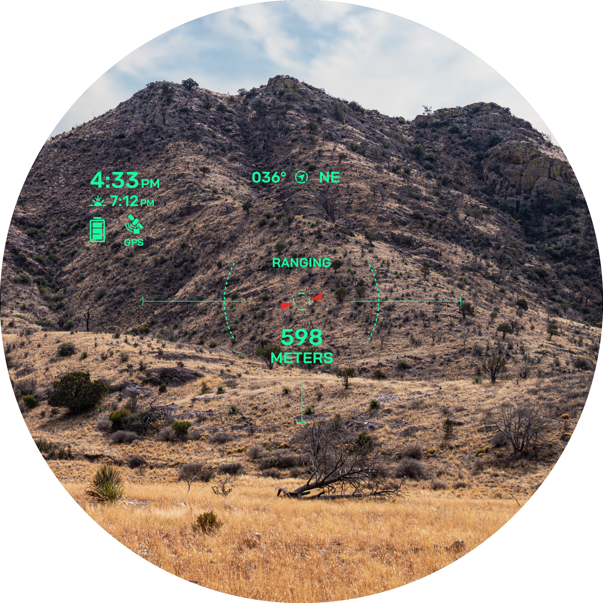
RANGE
With 7× magnification, the unit ranges trees up to 1,800 metres and animals up to 1,375 metres in daylight. Under optimal low-light conditions, the laser reaches up to 5,000 metres on retroreflective targets. Learn more
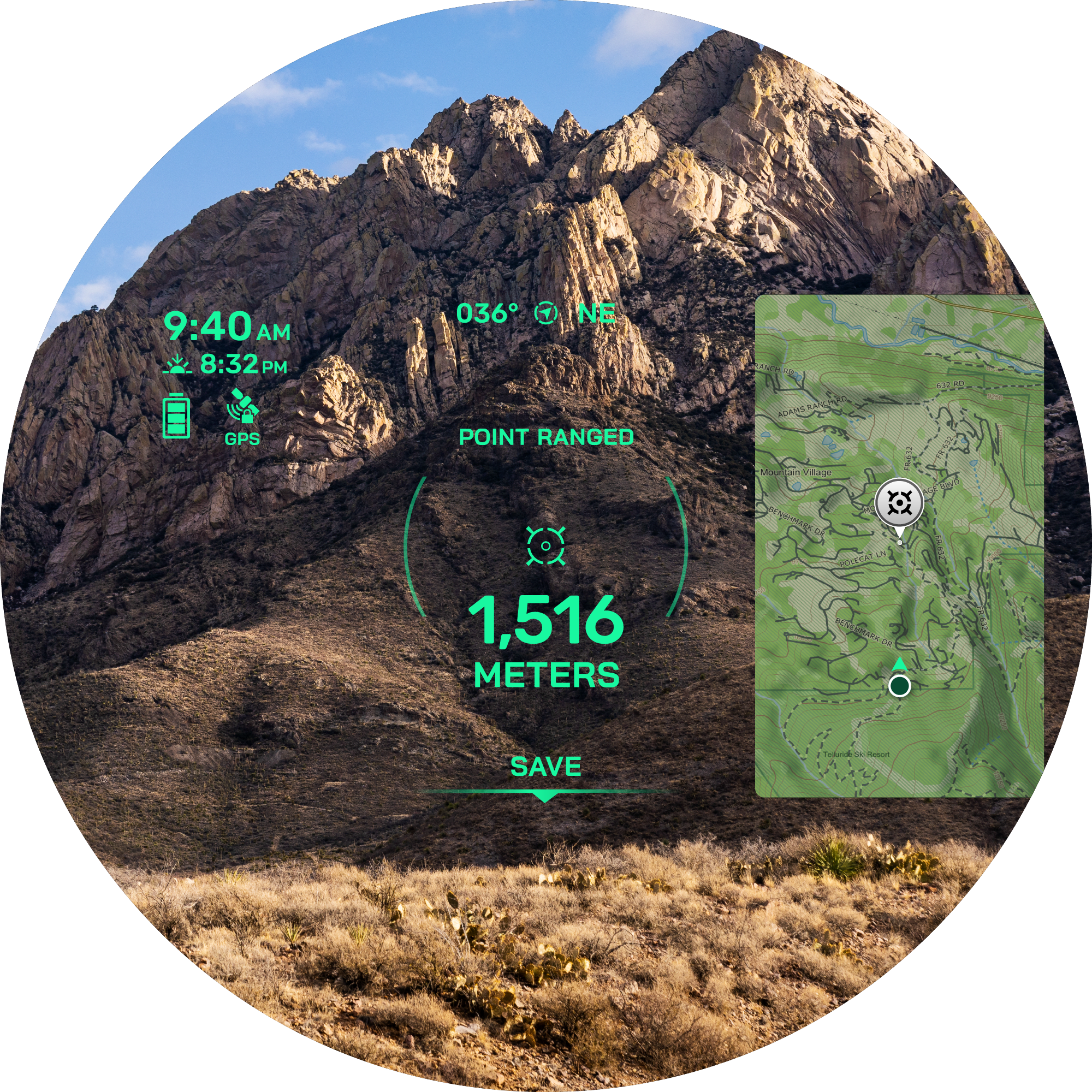
GRAPHIC OVERLAY
The high-resolution colour graphic overlay displays distance, position, mapping, ballistics, navigation and other information in the field of view. Learn more
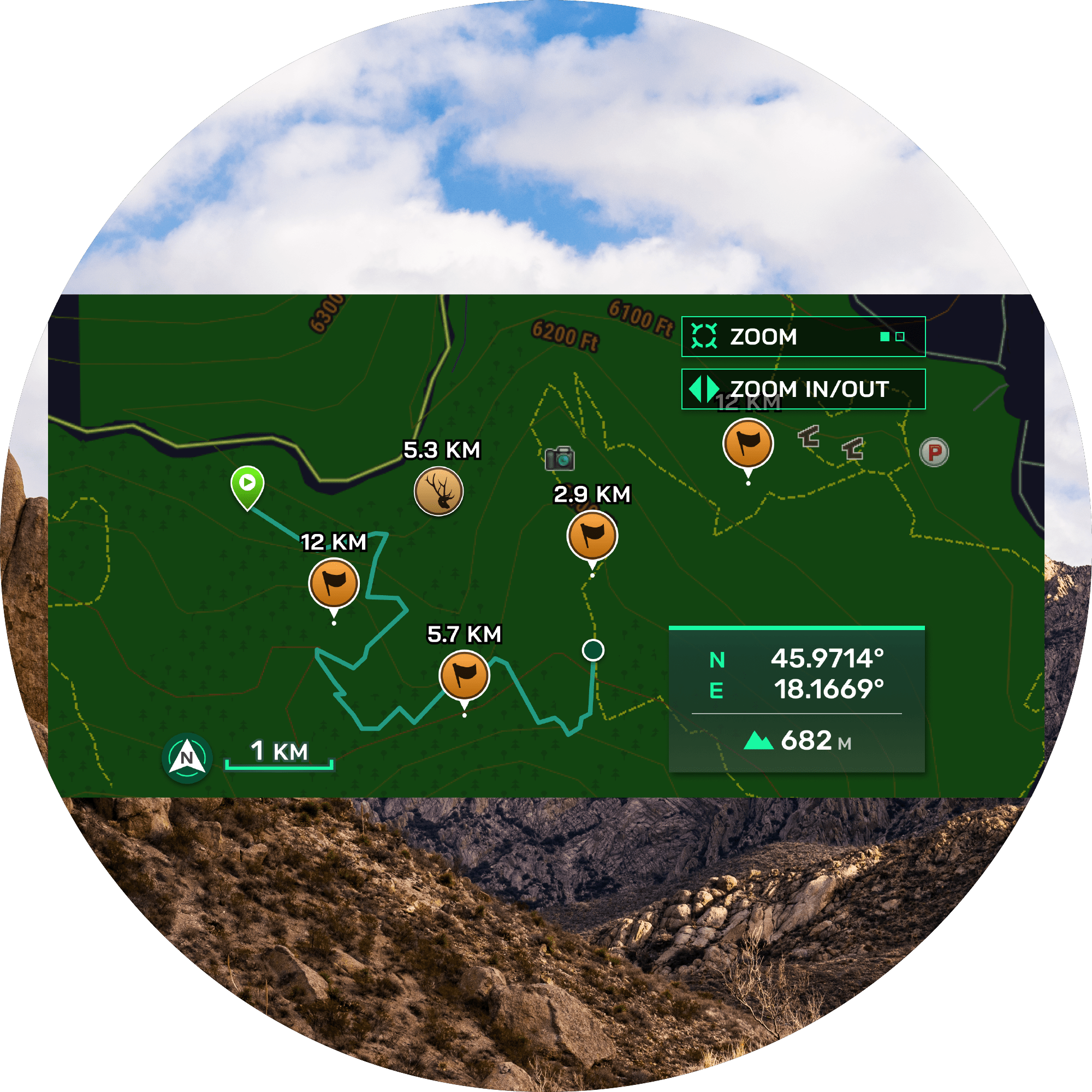
NAVIGATION FEATURES
TopoActive maps, a 3-axis compass and elevation profiles support navigation to saved waypoints. The overlay can also show an overhead view of the current position.
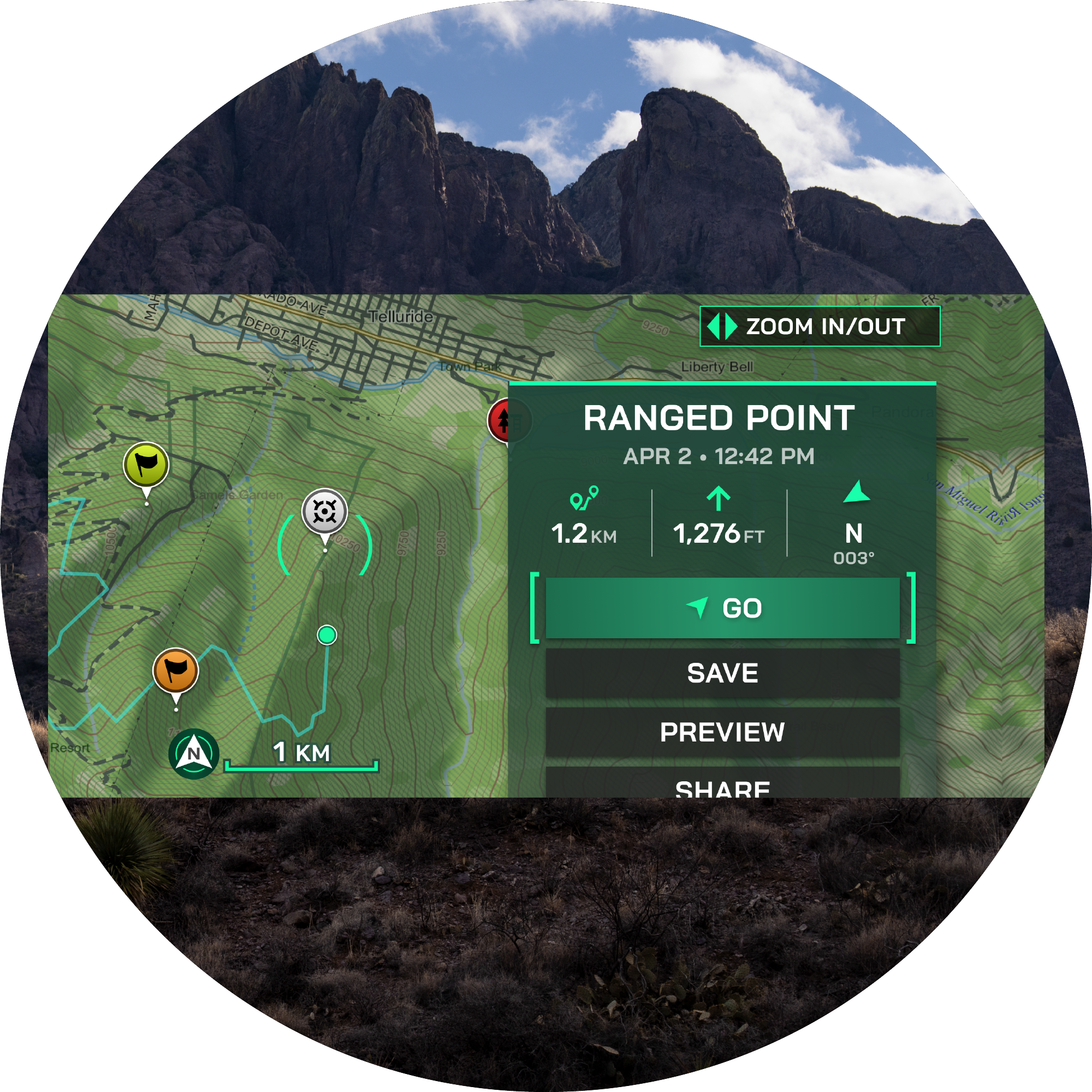
ADVANCED WAYPOINTS
Laser Locate creates a waypoint for a ranged target. Sensor Locate can project a waypoint beyond laser range, while Visual Recall guides the user back to a previously marked position. Learn more
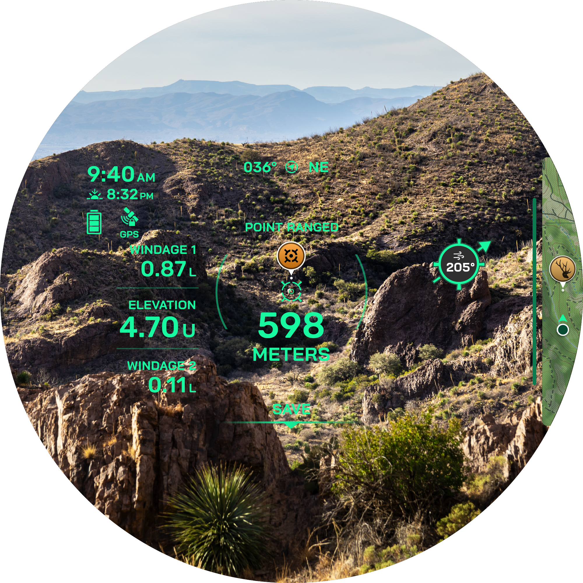
ONBOARD BALLISTICS
The onboard Applied Ballistics Ultralight solver provides ballistic data after activation through a compatible app. Arrow-ballistics functions include angle-compensated range, maximum arrow height and arrow entry angle at the target.
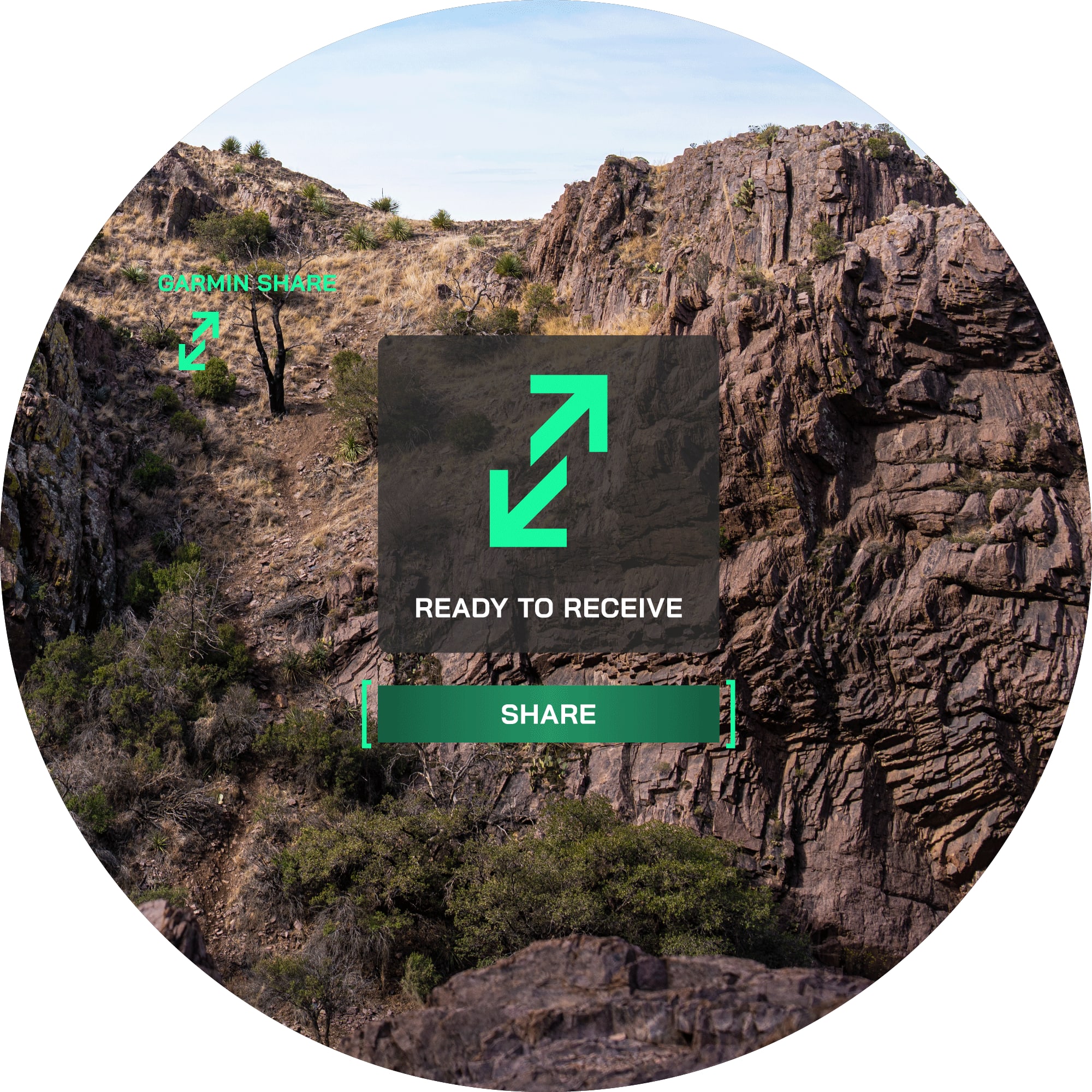
NAVIGATION ECOSYSTEM
Waypoints and data can be sent to a compatible smartphone and shared with compatible Garmin devices. Learn more
MANUAL IN PDF